Walking and Hiking
Public places offer lots of walking and hiking in Mystic and eastern CT
Walks and hikes welcome all kinds of visitors to the Mystic region. Some walks, like Bluff Point Reserve, are on the coast, and other, inland hikes offer trails -- paved and unpaved -- through woods, along wetlands, and among landscapes of boulders or mountain laurel groves. Trails and paths for walking and hiking cover a range of abilities, from an easy stroll to rocky trails.
17 listings
Guilford, CT
Trails of Stony Creek Quarry, Van Wie, and Kelley Preserves
Off Quarry RoadThe Stony Creek Quarry, Van Wie & Kelley Preserves form a total land area of more than 480 acres, including an old granite quarry that is still in use. The land is rugged, with altitude changes and lots of piles of quarry rubble. Trails to the west of the active quarry are fairly easy. Trails to the east of the quarry are more rugged and difficult. Total distance of all trails is about 11 miles. See link to map for various trails to choose from. Properties are open during daylight hours plus one hour before and after. Stay on the trails and please carry out everything you carry in. No open fires or camping. Motorized vehicles are prohibited.
Directions: Take Route 146 from Stony Creek to Guilford. Turn left on Quarry Road and park in the lot on the right. Or park on Red Hill Road, which is off Leetes Island Road, 0.1 mile south of I-95. Brochure and map.
Ledyard, CT
Pequot Trails
Departing from locations on or near Foxwoods ResortThe starting points for these trails are locations of buildings that make up the Foxwood Resort. The fox paw prints in the Great Cedar Casino lobby (at 350 Trolley Line Blvd., Ledyard, CT) will guide you to your choice of trails. You can opt for the path that takes you to the outside exhibits of the Pequot Museum (at 110 Pequot Trail, Ledyard, CT) or try the scenic trail loop behind the Two Trees Inn (at 240 Indiantown Road, Ledyard, CT). For a more vigorous walk, the Lantern Hill Trail takes you up nearly 500 feet above sea level, with views out to the Atlantic. Refer totrail map/
Pomfret Center, CT
Center at Pomfret (Audubon Bird Conservation area)
218 Day Road 860-928-4948Maintained by the Connecticut Audubon Society. Designated trails run throughout the property. The Audobon Society hosts frequent guided birdwalks and workshops on gardening and area wildlife. The Center at Pomfret manages the 168-acre Trail Wood Sanctuary. See Santuary Map on Center's website
Hours: Trail Wood Sanctuary, year-round, daily, dawn to dusk
Information: www.ctaudubon.org/center-at-pomfret/
Moosup, CT
Moosup Valley State Park Trail
Main StreetThis trail runs for 6 miles along the bed of an old railroad. The surface is ballast, crushed stone, dirt, grass, gravel, and sand. It is used by walkers, bicyclists, and cross country skiers. Much of the trail follows the Moosup River into Rhode Island. The trail begins with a large, re-decked trestle bridge and later it becomes more rural and wooded. Views of a quarry.
CT
Essex Village
Perched aside a wooded section of the Connecticut River, Essex is the quintessential New England riverside town of historic clapboard buildings and tree-lined streets. Its three village centers have fine examples of Colonial and Federal architecture. A walk through town would start at the Essex town dock at the end of Main Street and then proceed up Main Street, passing the Connecticut River Museum and Griswold Inn. Where Main Street splits, turn left onto North Main and walk toward the Riverview Cemetery. Continuing, take a left on Grove Street and a left on Prospect Street to loop back to your starting point.
Groton, CT
Bluff Point Coastal Reserve
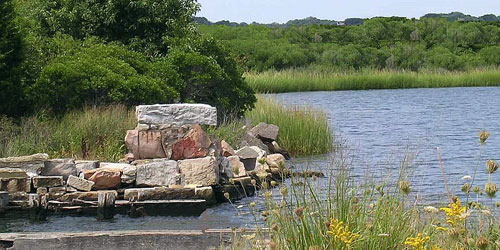
Depot Road 860-444-7591This coastal reserved offers beautiful walks through a wooded peninsula and along a rocky coastline. The 4-mile loop trail to the bluff passes along the Poquonock River and through wooded and open areas until opening entirely onto the Sound. Fun for bird watching. - Park Map (PDF)
Niantic, CT
Niantic Bay Boardwalk
Near McCook Point Park, 8 Atlantic AvenueThe Niantic Bay Boardwalk, rebuilt in 2016, provides a 1-mile promenade along Niantic bay, with stunning views of Long Island Sound, lapping waves, and the whoosh of trains passing on nearby tracks.
Scotland, CT
Rock Spring Wildlife Refuge / Preserve
Pudding Hill Road (Route 97) three miles south of Route 6 203-568-6270The three-mile loop trail has options for shorter hikes leading through mature oak forest, open fields, and along Little River on this 450-acre property. Trails lead past glacial kettle ponds to an overlook of the Little River Valley. Used for hiking, cross country skiing, bird watching. Rock Spring preserve and parking area are on the right, just north of the James V. Spignesi Jr. Wildlife Management Area.
Mansfield-Storrs, CT
Shelter Falls Park
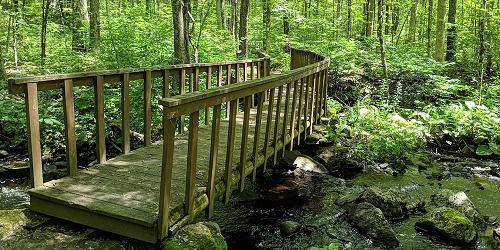
Birch RoadNice walks along a brook to a lovely waterfall are found at this small public park, only a short distance from the University of Connecticut at Storrs. - Trail Guide (PDF)
East Lyme, CT
Rocky Neck State Park
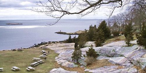
244 West Main Street (Route 156) 860-739-5471Bordered on the west by a tidal river and to the east by a broad salt marsh, Rocky Neck is popular for swimming, sunning, camping, picnicking and hiking. People who love to walk and hike will find many trails in the Rocky Neck network, and you may wish to combine a couple for your out-and-back. Nearer the shoreline, look for Look for ospreys, cranes, and herons or other waterfowl. - Hiking Map (PDF)
Hampton, CT
James L. Goodwin Forest
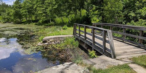
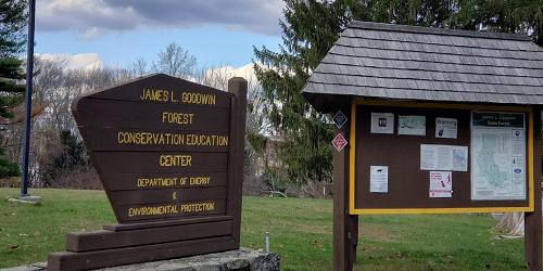
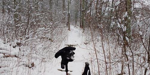
23 Potter Road - Off US Route 6 860-424-3200This state forest has a very extensive trail system for walking, bicycling, horseback riding, and enjoying nature. Trail range from short and easy to long. Some have printed brochures with information on the plant life of the area. Trail Map
Pomfret Center, CT
Mashamoquet Brook State Park
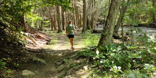
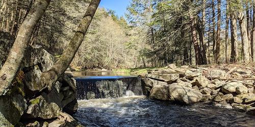
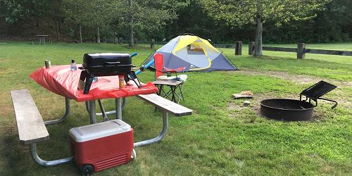
276 Mashamoquet Road 860-928-6121There is plenty of hiking in the woods at this popular state park. - Trail Map (PDF)
Danielson and Putnam, CT
Quinebaug River Trail
This four-mile trail winds along two rivers. It is paved and is used by walkers, bicyclists, and cross country skiers. The Quinebaug River Trail has two segments. The southern segment follows the Quinebaug River in Danielson, beginning at Palmer Street and Prospect Avenue, crossing a bridge over Fivemile Pond, then heading south along the east bank of the river to Gloria Avenue. The northern segment runs between the Holiday Inn just west of the Attawaugan Crossing/Ballouville Exit off I-395 and Park Road in Putnam. The segment parallels Tracy and Park roads.
Union, CT
Mountain Laurel Sanctuary in Nipmuck State Forest
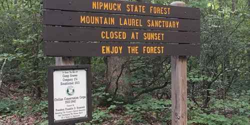
Snow Hill Road 860-346-2372Leisurely walking trails wind through the mountain laurel, Connecticut's official state flower. Viewing is best in June and July, when the laurel are in bloom. The sanctuary entrance is a short distance from the intersection of routes 89 and 190 and is well marked. Pets must be leashed.
Hours: 8 a.m. to sunset.
Pawcatuck, CT
Barn Island State Wildlife Management Area
Palmer Neck RoadThis wildlife management area displays the varied and beauty of coastal Connecticut. It has four miles of trails for walking and hiking, through forest and tidal marshes, with great views of birds and waterfowl. Watch for a rare New England cottontail rabbit. Hikers should be aware of the presence of deer hunters in hunting season.
Union, CT
Bigelow Hollow State Park & Nipmuck State Forest
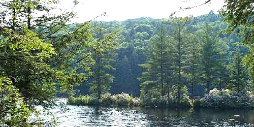
298 Bigelow Hollow Road - Route 171 860-424-3200This 9,000-acre combine state park and state forest have an extensive trail system, with marked trails from Bigelow Hollow to the Breakneck area for a distance of six miles. Trails west of the park road both form loops and are shorter than trails to Breakneck. The trail system is maintained by Connecticut Forest and Park Association. The trails are usable for cross country skiing and snowmobiling when there is snow cover. - Hiking Map (PDF)
Pomfret, CT
Dennis Farm
Dennis Road 203-568-6270The Nature Conservancy maintains this two-mile trail, which is an old farm road, through former farm property. It is now mainly a forest of oaks, The Route passes a beaver pond and returns by way of Old Kings Highway, a grass-covered walk. Also a good site for cross-country skiing and bird watching.
Hours: Dawn to dusk.