Walking and Hiking
Connecticut's parks, nature centers, arboretums offer great walking trails
From riversides to hill country to the seaside on Long Island sound, Connecticut has many wonderful places for walking and hiking. City walks can take you into the historic corners of New Haven and Hartford and the dining and shopping corner known as SoNo in South Norwalk. Gardens are abundant in city parks and in rural areas. The state parks alone could provide a lifetime of great hikes for kids, adults, older people, in all seasons of the year.
79 listings

East Granby, CT
Metacomet Trail
Route 20 860-346-2372The 62-mile Metacomet Trail follows a ridge from the Hanging Hills of Meriden to the Massachusetts border. A walk on this trail rewards hikers with beautiful views, wildlife sightings, and pass-by views of landmarks like Castle Craig in Hubbard Park, Hill-Stead Museum in Farmington, and the Heublein Tower in Talcott Mountain State Park in Simsbury. The Metacomet Trails intersects other trail systems, offering many opportunities for loop hikes.
The Metacomet Trail is part of the 215 mile New England National Scenic Trail (NET). The NET travels and connects various trails from the Long Island Sound to the Massachusetts / New Hampshire border.
Greenwich, CT
Audubon Center of Greenwich
613 Riversville Road 203-869-5272This full-service nature center with lots of exhibits and activities also offers 7 miles of walking trails. - Trail Map
Guilford, CT
Trails of Stony Creek Quarry, Van Wie, and Kelley Preserves
Off Quarry RoadThe Stony Creek Quarry, Van Wie & Kelley Preserves form a total land area of more than 480 acres, including an old granite quarry that is still in use. The land is rugged, with altitude changes and lots of piles of quarry rubble. Trails to the west of the active quarry are fairly easy. Trails to the east of the quarry are more rugged and difficult. Total distance of all trails is about 11 miles. See link to map for various trails to choose from. Properties are open during daylight hours plus one hour before and after. Stay on the trails and please carry out everything you carry in. No open fires or camping. Motorized vehicles are prohibited.
Directions: Take Route 146 from Stony Creek to Guilford. Turn left on Quarry Road and park in the lot on the right. Or park on Red Hill Road, which is off Leetes Island Road, 0.1 mile south of I-95. Brochure and map.
Hamden, CT
Sleeping Giant State Park
200 Mount Carmel Avenue 203-287-5658A two-mile walk to the tower atop this park yields a great great view of New Haven and the shoreline of Long Island Sound. - Hiking Map (PDF)
Colebrook, CT
Norbrook Family Brewery & Farm Trails
204 Stillman Hill RoadEnjoy a beer, then a farm trail walk, then a beer, and repeat. Norbrook Farm Brewery welcomes guests to ease up to the copper bar and enjoy farmhouse-style beers, ales and lagers. Also available: food trucks, small nooks or family-style tables for indoor seating, a patio in the warm seasons, and a sunroom overlooking the farm field and distant windmills. The brewery is found on this “Walking and Hiking” page, because the farm’s 450 acres have miles of trails, for walking, snowshoeing, cross-country skiing, mountain biking, and disc golfing. The tasting room does not have to be open for you to use the property, though the trails are closed, for safety, at sunset. Norbrook Farm Trail Farm trail map.
Hours: Wednesday-Sunday, noon-8 p.m.
Ledyard, CT
Pequot Trails
Departing from locations on or near Foxwoods ResortThe starting points for these trails are locations of buildings that make up the Foxwood Resort. The fox paw prints in the Great Cedar Casino lobby (at 350 Trolley Line Blvd., Ledyard, CT) will guide you to your choice of trails. You can opt for the path that takes you to the outside exhibits of the Pequot Museum (at 110 Pequot Trail, Ledyard, CT) or try the scenic trail loop behind the Two Trees Inn (at 240 Indiantown Road, Ledyard, CT). For a more vigorous walk, the Lantern Hill Trail takes you up nearly 500 feet above sea level, with views out to the Atlantic. Refer totrail map/
Salisbury, CT
Bear Mountain
Route 41 three miles north of SalisburyBear Mountain in Salisbury has the tallest point in Connecticut at 2,316 feet. There are several trails to the top, and all are categorized as strenuous. One trail to Bear Mountain is the Undermountain Trail, which you can get onto about three miles north of Salisbury off of Route 41. (A a dirt parking lot on the left hand side may be obscured by bushes in summer.) Undermountain Trail rises straight up for two miles and then meets the Appalachian Trial. When you reach the large wooden trail sign as Undermountain and Appalachian Trails meet, turn right onto the Appalachian Trail. Walks another mile to the top of Bear Mountain; there is a short, steep rise the last few 100 yards. Length: 5-6 miles round trip.
Ridgefield, CT
Woodcock Nature Center
56 Deer Run Road 203-762-7280Set on 146 acres, the nature center has numerous walking and hiking trails. The area offers great opportunities for birdwatching and observation of geology. Regular walks and programs are scheduled throughout the year. Gift shop on the premises.
Located on 149 acres of state-protected land, the Woodcock Nature Preserve includes a pond, wetlands and three miles of trails through woods. The center keeps many living local and exotic creatures including snakes, frogs and lizards. A few injured birds of prey live at the center. - Trail Map
Hours: Monday-Friday and most Saturdays from 9:30 a.m.-4 p.m.; summers, Monday-Friday only. The trails are open daily from dawn to dusk.
Admission: Free.
Torrington, CT
Burr Pond State Park
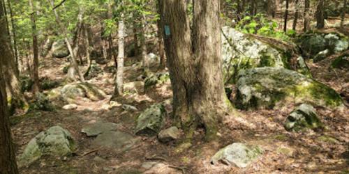
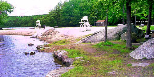
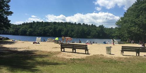
384 Burr Mountain Road 860-482-1817As easy walking trail hugs the shoreline of this pretty pond, with a sandy beach and boating. - Trail Map (PDF)
Chester, CT
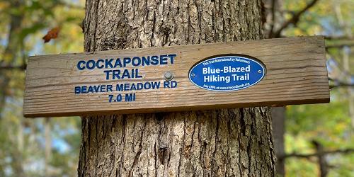
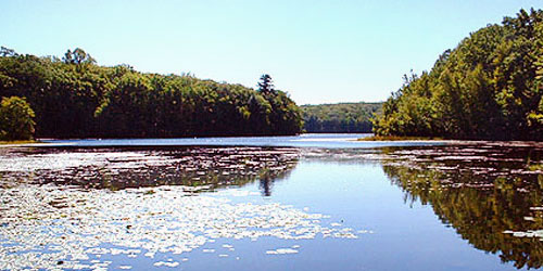
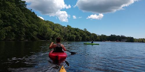
Cockaponset State Forest and Pattaconk Lake Recreation Area
Cedar Lake Road 860-424-3200Follow color-coded marked trails past Stevenson Pond, Tower Hill Lake, Deep River, Horse Pond, and serene brooks and streams. - List of Park Maps
Pomfret, CT
Dennis Farm
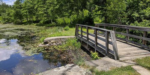
Dennis Road 203-568-6270The Nature Conservancy maintains this two-mile trail, which is an old farm road, through former farm property. It is now mainly a forest of oaks, The Route passes a beaver pond and returns by way of Old Kings Highway, a grass-covered walk. Also a good site for cross-country skiing and bird watching.
Hours: Dawn to dusk.
Hampton, CT
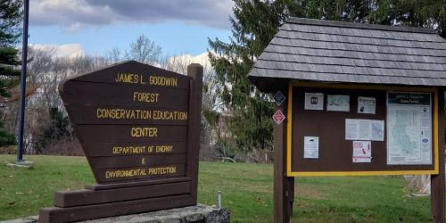
James L. Goodwin Forest
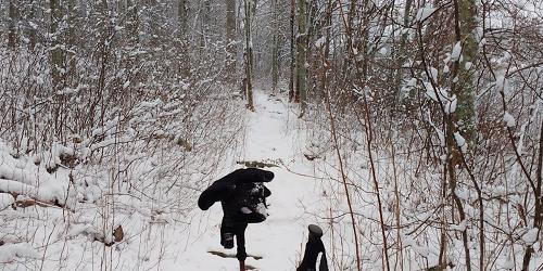
23 Potter Road - Off US Route 6 860-424-3200This state forest has a very extensive trail system for walking, bicycling, horseback riding, and enjoying nature. Trail range from short and easy to long. Some have printed brochures with information on the plant life of the area. Trail Map
Scotland, CT
Rock Spring Wildlife Refuge / Preserve
Pudding Hill Road (Route 97) three miles south of Route 6 203-568-6270The three-mile loop trail has options for shorter hikes leading through mature oak forest, open fields, and along Little River on this 450-acre property. Trails lead past glacial kettle ponds to an overlook of the Little River Valley. Used for hiking, cross country skiing, bird watching. Rock Spring preserve and parking area are on the right, just north of the James V. Spignesi Jr. Wildlife Management Area.
Pomfret Center, CT
Center at Pomfret (Audubon Bird Conservation area)
218 Day Road 860-928-4948Maintained by the Connecticut Audubon Society. Designated trails run throughout the property. The Audobon Society hosts frequent guided birdwalks and workshops on gardening and area wildlife. The Center at Pomfret manages the 168-acre Trail Wood Sanctuary. See Santuary Map on Center's website
Hours: Trail Wood Sanctuary, year-round, daily, dawn to dusk
Information: www.ctaudubon.org/center-at-pomfret/
Burlington, CT
Sessions Woods Wildlife Management Area
Route 69 860-675-8130Visitors to this natural preserve are treated to a beaver marsh, an observation tower, and a waterfall. Walking and hiking trails feature information signs and demonstrations of wildlife management practices.
Hours: Year-round, dawn to dusk.
Canton, CT
Roaring Brook Nature Center
70 Gracey Road 860-693-0263This nature center features walking trails, live animals and an Indian longhouse. The Nature Center uses the 100-acre Werner farm property and woods, and maintains its hiking trails, bluebird boxes, and wildlife habitats. The trails are used hiking, cross-country skiing, and passive enjoyment of the outdoors. A self-guiding trail guide, and trail maps may be purchased at the nature store.
Hours: Walking trails are open dawn until dusk.
Manchester, CT
Oak Grove Nature Center
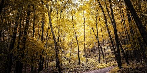
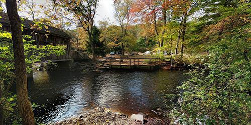
Oak Grove Street 860-643-0949This 52-acre nature preserve and nature center is operated by the nearby Lutz Children's Museum. The property has a pond, a covered bridge, and two easy walking trails totaling about 3 miles of walking distance on dirt paths.
Hours: Trails are open dawn to dusk. Center open for museum activities and by arrangement.
Simsbury, CT
Talcott Mountain State Park
CT Route 185 (Hartford Road) at Summit Ridge Drive 860-242-1158Heulbein Tower is popular for hiking, picnicking
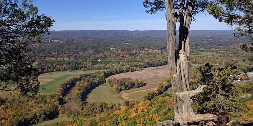
The Tower Trail is one-and-a-quarter miles long, and will lead you on a 30-40 minute walk to Heublein Tower and breathtaking views of the landscape, including Mount Monadnock in New Hampshire and the mountains of the Berkshires in Massachusetts. A section of the Metacomet Trail also intersects the park. - Park Map (PDF)
Hebron, CT
Gay City State Park
Route 85 860-295-9523This rustic, rural park is the perfect place for fishing, along with biking, hiking, walking, and cross-country skiing on numerous trails. - Hiking Map
Hours: The park is open from 8 a.m. to sunset. Season is the Saturday in April through Columbus Day weekend. Winter parking is available.
West Granby, CT
Enders State Forest
Route 219 860-379-2469Open: Year round.
This wildlife sanctuary features a walking trail that leads to beautiful, scenic waterfalls.
Redding, CT
Saugatuck Reservoir Trails
Route 53 203-452-3511Saugatuck Reservoir is part of a big land preserve in southwestern Connecticut. It is surrounded by 65 miles of hiking trails wending through Redding, Easton, and Weston through woodlands and fields, along shorelines, up rocky mountain sides with great views, and along interesting wetlands. These trails are part of the blue-blazed trail system managed by the Connecticut Forest and Park Association. To hike here, you must contact Aquarion Water Company and ask for a free map of the trail system, which serves as your hiking permit.
New Fairfield, CT
Squantz Pond State Park
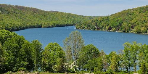
178 Short Woods Road 203-312-5023There are plenty of nice, wooded, and well-mapped hiking paths in the woods and hills about the lake at this park for walkers and hiker of all abilities. - Hiking Map (PDF)
Fairfield, CT
Connecticut Audubon Birdcraft Museum & Sanctuary
314 Unquowa Road 203-259-0416Historic museum highlights natural history of the state with dioramas, wildlife exhibits, and dinosaur footprints. Adjacent 6-acre sanctuary with trails.
Hours: Open Monday-Friday, 9am - 5pm. The six-acre Birdcraft Sanctuary is open daily, year-round, from dawn to dusk.
Fairfield, CT
Connecticut Audubon Society Center at Fairfield
2325 Burr Street 203-259-6305The Larsen Sanctuary is next to the Audubon Center at Fairfield. The land has streams, ponds, forest, fields, and seven miles of trails and boardwalks with information signs. There is a wheelchair-accessible trail call the Chiboucas Trail. A brochure and trail map are available at the Center. There is an admission fee except for Audubon members and Fairfield residents.
New Canaan, CT
New Canaan Nature Center
144 Oenoke Ridge 203-966-9577Take a fascinating look into the science and nature in the area. Set on 40 acres, the nature center features gardens and a solar-heated greenhouse, as well as many trails, exhibits, an arboretum, live animals, and a maple sugar shed.
Read a detailed description, including information on hours and admission, at our science and nature page.
Greenwich/Stamford border, CT
Mianus River Preserve & Park / Cary Road Nature Preserve / Mianus Pond
Cary Road 203-977-4692This preserve begins 1,000 feet north of the Post Road on the eastern side of Mianus Pond. It is a haven for hikers, with undisturbed woods and a steep shoreline and lovely views. Foot access is from the northern ends of Westview Place and Cary Road.
To get there: Take U.S. 1 toward Stamford; after leaving Cos Cob and crossing the Mianus Bridge turn left onto Cary Road. Mianus Park is on Cary Road.
Hours: Year-round, daily, daylight hours.
Weston, CT
Lucius Pond Ordway - Devil's Den Preserve
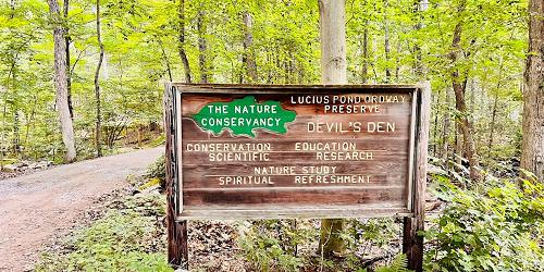
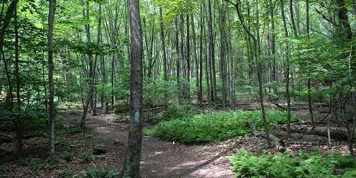
33 Pent Road 203-226-4991This is the Nature Conservancy’s largest preserve in Connecticut. It protects part of the watershed of the Saugatuck River. The property includes woodlands, wetlands and rock ledges and a series of north-south ridges and valleys woven with streams and swamps. Good place for hiking and bird watching. - Trail Map (PDF)

Westport, CT
Earthplace
10 Woodside Lane 203-557-4400Natural history museum with exhibits for children, live animals, trails, playground and a gift shop are all part of this wildlife sanctuary. This 62-acre property has several easy trails, including a universal access trail that can be used by people in wheelchairs or using walkers. It is an old farm and still shows evidence of stone walls, open fields, and wagon roads through the woods. Dogs are not permitted on the trails.
Hours: Open daily except major holidays, 9am - 5pm. Some days have shortened hours; please check website for details.
Admission: Adults $10; Students, Seniors and Kids 2-12 $5.
Roxbury, CT
Mine Hill Preserve
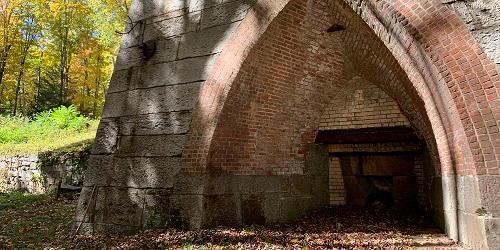
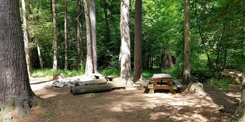
Mine Hill RoadListed on the National Register of Historic Places, the preserve is set on a former iron ore mine and blast furnace. Granite quarries on the property provided stones used in the building of the Brooklyn Bridge and Grand Central Station in New York City. A looping trail of under 4 miles will take hikers along the Donkey Trail (where donkeys used to pull ore wagons), past mine shafts and tunnels, and old mine and furnace foundations. Side trails will take hikers to the granite quarries.

Barkhamsted, CT
American Legion & Peoples State Forests
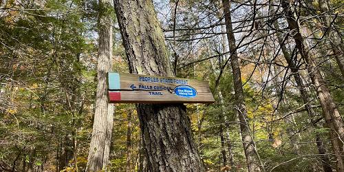
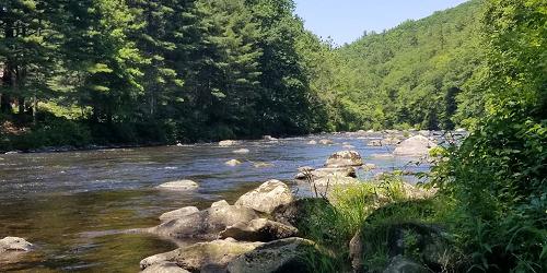
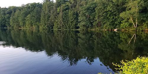
Between Center Hill Road (CT Route 181) and East River Road 860-379-2469These two adjacent state forests have extensive hiking trails, from easy to difficult. they include: Henry Buck Trail (blue blazed; 0.3 mile; overlook from high cliffs); Turkey Vultures Ledges Trail (blue; easy hike to scenic views; 0.4 mile); Agnes Bowen Trail (orange; a ski trail from the 1930; 2.5 miles); Charles Pack Trail (yellow; 1.9 miles); Elliot Bronson Trail (red; a rugged climb over Ragged Mountain; 1.5 miles); Jessie Gerard Trail (yellow; passes an old Indian settlement, a lighthouse, 299 stone steps; some of the best views in the state; Robert Ross Trail (blue; 2 miles); Walt Landgraf (red; leads to an area of rock ledges known as the Indian Caves; 0.2 miles). - Trail Map (PDF)
Bristol, CT
H.C. Barnes Nature Center
175 Shrub Road 860-589-6082This nature center features a variety of self-guiding trails, as well as interpretive exhibits and a nature library. The 70 acre sanctuary is home to a variety of species.
Hours: Wednesday-Friday, 2-5 p.m.; Saturday, 9 a.m.-5 p.m.; Sunday, 1-5 p.m.
Kent, CT
Bull's Covered Bridge River Walk
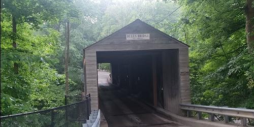
Bull's Bridge RoadA scenic part of the Appalachian Trail. Hikers can enjoy the Bull's Bridge Scenic Trail loop, featuring views of waterfalls and gorges down below on the Housatonic River. The covered bridge was built in 1842. The trail follows the Housatonic River to Ten Mile River Gorge, and then up to the top of Ten Mile Hill.
Directions: At the intersection of routes 341 and 7 in Kent, follow Route 7 south for three miles; turn right onto Bull's Bridge Road; cross the first bridge; go through the covered bridge; cross a third bridge, and park on the left White blazes mark the entrance to the Appalachian Trail. The entrance to Bull's Bridge Scenic Loop is between the covered bridge and the first parking area and is not blazed. Moderate difficulty.
Kent, CT
Kent Falls State Park
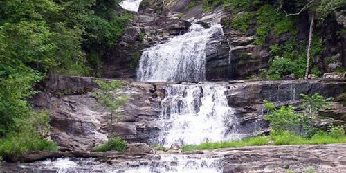
462 Kent Cornwall Road (Route 7) 860-927-3238This beautiful park focuses on waterfalls descending to the Housatonic River. There are many mapped trails all around the drainage area of the streams joining the waterfalls. - Hiking Map (PDF)

Litchfield, CT
White Memorial Conservation Center and Museum
80 Whitehall Road 860-567-0857This wildlife sanctuary and museum is on 4,000 acres of many habitats and 35 miles of trails. The Little Pond trail is a one-mile wooden boardwalk through wetland areas and around a pond. History buffs will enjoy the ruins of an old ice house off Bantam Lake. Bring your smart phone to access via QR code the oral and pictorial history of the ruins. Programs for adults and kids are varied, and include guided walks. There is a gift shop.
Norfolk, CT
Campbell Falls State Park
Route 272 to Campbell Falls RoadCampbell Falls State Park is a natural area with no facilities. Visitors enjoy the easy hike to a beautiful, small waterfall on Ginger Creek. Sweet spot for picnicking. - Hiking Trails
Sharon, CT
Sharon Audubon Center
325 Cornwall Bridge Road / Route 4 860-364-0520Nature trails meander through gardens, woods and around ponds. Watch for a wide variety of plants, birds, bobcats, beavers, river otters, and deer. Many migratory birds use the property as a lay-over point. The Visitor Center houses the Nature Store, Natural History Museum, and Exhibit Room with live animals and displays and a Children's Adventure Center. Gift shop and book store.
Hours: The Visitors Center and Nature Store are open year round, Tuesday-Saturday, 9 a.m.-5 p.m.; Sunday, 1 to 5 p.m. The building is closed on all major holidays.
Admission: Trails and most programs are $3 for adults; $1.50 for seniors; $1.50 for children
Woodbury, CT
Flanders Nature Center
Flanders Road 203-263-3711Flanders Nature Center has access to many walking and hiking trails on the Van Vleck Farm and Nature Sanctuary and the Whittemore Sanctuary. Trails are used for birding watching, nature photography, and in the winter cross country skiing and snowshoeing. Some trail names are “Wildlife Vegetation Trail,” “Farm Trail,” “Wilderness Trail,” “Botany Trail,” and “Old Orchard Trail.” Trails at the Whittemore Sanctuary offer views of natural vistas. Trails open from sunrise to sunset. Trail maps are available at the Welcome Center at the Van Vleck Farm Sanctuary at the corner of Church Hill and Flanders Roads in Woodbury. - Trail Maps
Hours: Monday-Saturday, 9 a.m.-5 p.m.
Southbury, CT
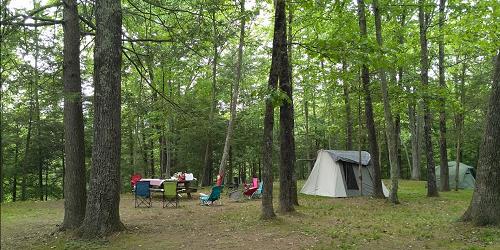
Kettletown State Park
1400 George's Hill Road (Off I-84 at Exit 15) 860-424-3200Visitors can enjoy nature programs, fishing, hiking trails (including one for the handicapped), swimming and picnic areas. Plenty of lovely walks and hikes, and the state offers a handy map to guide you. - Trail Map (PDF)
Ansonia, CT
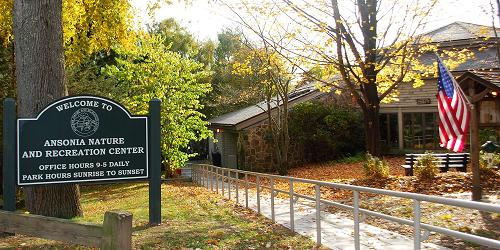
Ansonia Nature and Recreation Center
10 Deerfield Lane 203-736-1053This park has two and one-half miles of nature trails. The land encompasses 104 acres of wooded hills and grassy fields bisected by streams, a two acre pond, wet meadows, and an upland swamp. The site provides habitat for many species of New England plants and animals.
Hours: Daily sunup to sundown; interpretive center open 9 a.m. t o 5 p.m. daily except on major holidays.
Admission: Free.
East Haddam, CT
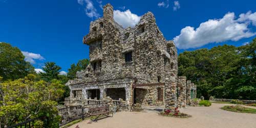
Gillette Castle State Park and Mansion
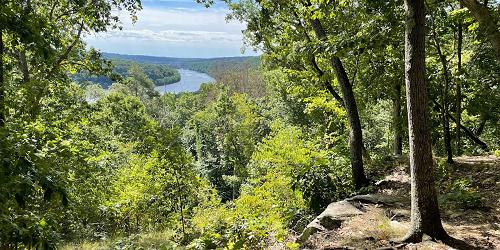
67 River Road 860-526-2336Short, steep, and sweet hikes abound on this property, the former home of a famous stage actor of the early 20th century. Many picnic spots overlook the beautiful Connecticut River far below the top the hill, where a fanciful castle was the home of William Gillette. - Hiking Map (PDF)
East Haddam, CT
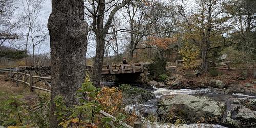
Devil's Hopyard State Park
366 Hopyard Road 860-873-8566The red and white nature trail is about a quarter-mile long and offers wildlife viewing opportunities. Including this one, there are some shorter trails surrounding a small pond in the park’s southern region. Explore scenic views along the Yellow Witch Hazel and Orange Vista Trails. - Park Map (PDF)
Cheshire, CT
Lock 12 Historical Park
487 North Brooksvale Road (Route 42) 203-272-2743Walk along this historical park’s 2.9-mile hiking and biking trail, then enjoy a picnic in the great outdoors. Grounds are open year-round. Be sure to explore the restored Canal.
Watertown, CT
Black Rock State Park
2065 Thomaston Road 860-283-8088Black Rock offers excellent swimming, hiking, scenic views, and Indian legend all tucked into the scenic rolling hills of the western highlands of Connecticut. - Hiking Map (PDF)
Pomfret Center, CT
Mashamoquet Brook State Park
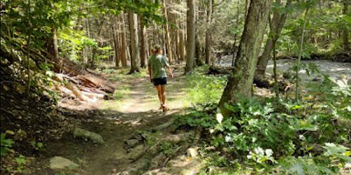
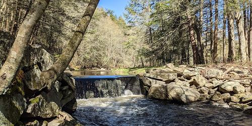
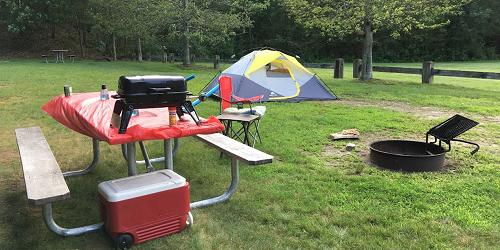
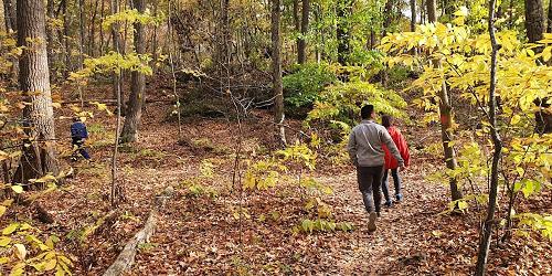
276 Mashamoquet Road 860-928-6121There is plenty of hiking in the woods at this popular state park. - Trail Map (PDF)
Washington Depot, CT
Mount Tom State Park
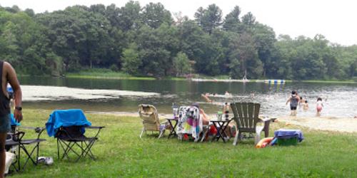
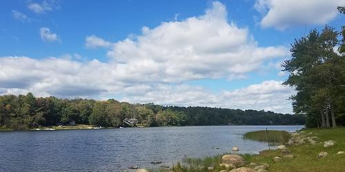
Route 202 at Mount Tom Road 860-567-8870In addition to water sports, this park is popular for hikes to the lookout tower on Mount Tom, which looms above the lake. The summit is 1325 feet above sea level, and the trail to the tower is less than one mile long and rises 500 feet. - Park Map (PDF)
Mansfield-Storrs, CT
Shelter Falls Park
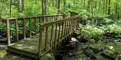
Birch RoadNice walks along a brook to a lovely waterfall are found at this small public park, only a short distance from the University of Connecticut at Storrs. - Trail Guide (PDF)
New Haven, CT
East Rock Park
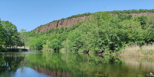
41 Cold Spring Street 203-946-6086This 425-acre park offers nature and walking and bicycling trails, playgrounds, recreational areas, a bird sanctuary, and a spectacular view of Long Island Sound. Recreational opportunities include baseball fields and basketball courts; bicycling on paved roads; paddling on the Mill River; fishing and crabbing; football and soccer fields; ice skating; picnicking and playgrounds; an 800-foot self-guided nature trail; sledding. The park is open sunrise to sunset.
Highlights of the park are climbing to the Summit of East Rock, which is accessible by foot, bicycle or car; the Trowbridge Environmental Center; the Pardee Rose Garden and Greenhouse (203-946-8142); and the Soldiers & Sailors Monument. - Park Map (PDF)
Seymour, CT
Little-Laurel Lime Ridge Park
Tomlinson & Laurel Ridge roadsThis 209-acre park is managed by the town of Seymour, The land has wild woods with extensive hiking trails. Wonderful views of Housatonic River and valley can be seen from park trails. The park also is noted for its limestone caves.
parts of Harwinton, Litchfield, Plymouth, Thomaston, Waterbury, Watertown, CT
Mattatuck State Forest
860-567-5694Mattatuck’s many parcels cross several town borders and offer many outdoor and forest experiences for hiking, mountain biking, letterboxing, and hunting. Various trails lead hikers past interesting topography to excellent overlooks. Hunters, in season, make use of the forest for its wide variety of wildlife.
Whiterock Trailhead: From the intersections of Route 262 and Route 6 in Plymouth, drive south on Route 262 for three and a half miles and park in the unmarked pull-off on the right. The trail descends to the south at first; joins the blue blazed main trail; turns west; follow to the summit.
Greystone Trailhead:From Routes 262 and 6 in Plymouth drive south on Route 262 for five miles to the trail head. There is no parking at the trailhead; park at the bottom of the hill and walk back up to the trail head. Enter the woods at the barred gate; cross the bridge; hike to the summit. - Trail Map
Wolcott, CT
Peterson Park
123 Mad River Road 203-879-8100This park is home to the beginning of the Mattuck Trail, a 35-mile hike that wends its way up to Mohawk Mountain, in the Litchfield Hills. Peterson Park offers basketball, tennis, volleyball, roller blading, skate park, play areas, and paved walking trails. There is a large picnic grove with many tables and two pavilions.
Norfolk, CT
Haystack Mountain
State Route 272At the summit of this 1,716 foot peak is a 34 foot high tower. A half-mile trail leads visitors from the parking lot to the tower, from which Long Island Sound, the Berkshires and New York State can be seen.
Union, CT
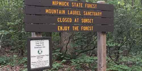
Mountain Laurel Sanctuary in Nipmuck State Forest
Snow Hill Road 860-346-2372Leisurely walking trails wind through the mountain laurel, Connecticut's official state flower. Viewing is best in June and July, when the laurel are in bloom. The sanctuary entrance is a short distance from the intersection of routes 89 and 190 and is well marked. Pets must be leashed.
Hours: 8 a.m. to sunset.
Middlebury, CT
Hetzel Refuge
Breakneck Hill 203-263-3711This pristine, wooded refuge sits on 66 acres and offers prime observation areas for both birds and animals. Hiking trails wend their way through almost the entire site.

Stamford, CT
Bartlett Arboretum
151 Brookdale Road 203-322-6971This large property offers nature viewing and education, along with lots of marked walking trails. Guided tours during warm seasons visit the cottage, perennial and sundial gardens; red maple wetlands and wildflower meadow; fall wildflower and tree identification; and champion and notable tree collection. - Trail Map
New Haven, CT
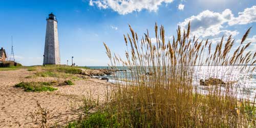
Lighthouse Point Park
2 Lighthouse RoadLighthouse Point in New Haven is at the eastern point of New Haven Harbor. Now inactive, the lighthouse protected ships in New Haven harbor for 73 years. Today, the park attracts visitors to the beach for swimming, fishing, boating (there is a public boat launch), and picnicking. Lifeguards are on duty during summer.
Moosup, CT
Moosup Valley State Park Trail
Main StreetThis trail runs for 6 miles along the bed of an old railroad. The surface is ballast, crushed stone, dirt, grass, gravel, and sand. It is used by walkers, bicyclists, and cross country skiers. Much of the trail follows the Moosup River into Rhode Island. The trail begins with a large, re-decked trestle bridge and later it becomes more rural and wooded. Views of a quarry.
Shelton, CT
Indian Well State Park
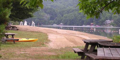
1 Indian Well Road 203-735-4311This park along the Houstonic River has mapped walking trails through beautiful woods. - Park Map (PDF)
Pawcatuck, CT
Barn Island State Wildlife Management Area
Palmer Neck RoadThis wildlife management area displays the varied and beauty of coastal Connecticut. It has four miles of trails for walking and hiking, through forest and tidal marshes, with great views of birds and waterfowl. Watch for a rare New England cottontail rabbit. Hikers should be aware of the presence of deer hunters in hunting season.
CT
Essex Village
Perched aside a wooded section of the Connecticut River, Essex is the quintessential New England riverside town of historic clapboard buildings and tree-lined streets. Its three village centers have fine examples of Colonial and Federal architecture. A walk through town would start at the Essex town dock at the end of Main Street and then proceed up Main Street, passing the Connecticut River Museum and Griswold Inn. Where Main Street splits, turn left onto North Main and walk toward the Riverview Cemetery. Continuing, take a left on Grove Street and a left on Prospect Street to loop back to your starting point.
New Haven, CT
Grove Street Cemetery
A beautiful, peaceful, and historic walk in an older city can usually be found at a garden cemetery. Grove Street Cemetery in New Haven, surrounded by regal Yale University, sits behind a stone wall and iron fence along Grove and Prospect streets. The cemetery, which has been called the Westminster of Yale, contains the graves of Yale luminaries, like Eli Whitney and Noah Webster. The cemetery was established in 1797; it beauty if enhanced by the architectural gem of an Egyptian Revival-style gateway entrance on High Street.
New Haven, CT
Walking Tours of Art at Yale University
203-432-2300The campus of Yale University in the city of New Haven is rich with public art and interesting architecture. A very helpful map and self-guided walking tour (PDF) of art on the Yale campus is available, with explanations and directions to public works by Maya Lin, Alexander Calder, Roy Lichtenstein, and others. Also, the Yale Visitor Center at 149 Elm Street leads free group walking tours of public art at Yale by request; call a week before the requested date.
East Hartland, Burlington, East Plymouth, Southington, CT
Tunxis Trail
The Tunxis Trail, in north-central Connecticut, is part of the blue-blaze trail system, composed of 22 trails in four sections. The Northern Trail is 22 miles long, from the Massachusetts border through Tunxis State Forest. Nepaug region trail is 7.2 miles long, through New Hartford, over Garret Mountain and through Nepaug and Burlington. The Burlington region trail is a network west of Burlington. The Southington region 14 miles of trails crossing Southington, Compounce, and South Mountains. These trails are maintained by volunteers and are among the most popular Connecticut trails for walkers of all abilities.
Best resource for trail maps and trail access is the Connecticut Walk Book (West). You can purchase the book from Connecticut Forest and Park Association's online bookstore, some local bookstores or some local libraries.
South Meriden, CT
Quinnipiac River Gorge Trail
Oregon Road and River RoadThe paved, multi-use Quinnipiac Gorge Trail starts at Lions Club Park. The trail follows a former rail bed westward along the Gorge with several beautiful views of the Quinnipiac River. Walking, bicycling, roller blades, wheelchairs welcome. Rating is Easy. Distance: 1.3 miles.
Permitted Activities: The trail is handicap accessible. Hiking and canoeing are permitted. Fishing is allowed with a state license. Motor vehicles prohibited.
Directions and Parking: Access is off River Road (CT Route 70). Handicap accessible parking is on Oregon Road. General parking is at the Dossin Beach near Hanover Pond. More parking is on Finch Avenue at the Cheshire town border.
Town of Meriden: 203-630-4259. - Map of Quinnipiac River Gorge Trail
Guilford, CT
Mattabesett Trail -- Route 77 to Route 17
Route 77 and Fire Tower Road (north of Bluff Head Cemetery)This five-mile-long and moderately difficult trail is part of the 220-mile New England Trail. Start your walk at the Bluff Head trail head parking area on Route 77 near Bluff Head Cemetery. This route is part of the Blue-Blazed Hiking Trail System. Bluff Head has wonderful southward views to Long Island Sound and north to the Coginchaug Valley. The trail is rocky and has some inclines.
Hours: Dawn to dusk
Granby, East Granby, Suffield, Unionville, Collinsville, Burlington, Canton, and Simsbury, CT
Farmington Canal Heritage Trail and Farmington River Trail
860-202-3928The Farmington Canal Heritage Trail stretches from New Haven to the Massachusetts border before continuing into Massachusetts for a total length of 80.5 miles, passing through and 13 towns. The trail, for walkers and bicyclists, runs along abandoned rail corridors and canal tow paths. The Farming River Trail is an 18.2-mile loop trail that connects to the Heritage Trail at location in Farmington and Simsbury. It touches on the towns of Unionville, Collinsville, Burlington, and Canton. Much of the trail hugs the banks of the Farmington River.
Online trail maps provided by the Farmington Valley Trails Council show the full trail and its various segments, with helpful information on parking and other needs.
Plymouth, CT
Walking Tour of Plymouth Center
Begins the Town Green, 10 Park Street 860-585-4001This walking tour of this lovely Litchfield town begins at the Town Green and proceeds to the town's Burying Ground, where the oldest gravestone dates to 1749. Soldiers from the French and Indian War, the Revolutionary War, and the War of 1812 are buried here. The Soldiers Monument commemorates Abraham Lincoln and 38 men from Plymouth who died in The Civil War. Other New England edifices include the Congregational Church, several historic homes, the Gothic Revival Baptist Church, a post office, and The Quiet, a historic inn. The walk is about a half mile long.
Union, CT
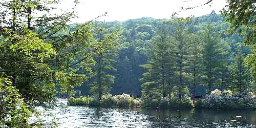
Bigelow Hollow State Park & Nipmuck State Forest
298 Bigelow Hollow Road - Route 171 860-424-3200This 9,000-acre combine state park and state forest have an extensive trail system, with marked trails from Bigelow Hollow to the Breakneck area for a distance of six miles. Trails west of the park road both form loops and are shorter than trails to Breakneck. The trail system is maintained by Connecticut Forest and Park Association. The trails are usable for cross country skiing and snowmobiling when there is snow cover. - Hiking Map (PDF)
Bloomfield, CT
Penwood State Park
Route 185, Simsbury Road 860-566-2304Most of this 800-acre park’s hiking trails begin and end at the main picnic site. Trails are color-coded loops, with the exception of the Nature Trail, which encircles Lake Louise and passes by the scenic pinnacle overlook. Year-round chances to see wildlife such as birds and wildflowers.
Groton, CT
Bluff Point Coastal Reserve
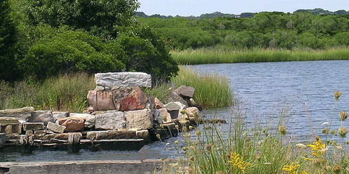
Depot Road 860-444-7591This coastal reserved offers beautiful walks through a wooded peninsula and along a rocky coastline. The 4-mile loop trail to the bluff passes along the Poquonock River and through wooded and open areas until opening entirely onto the Sound. Fun for bird watching. - Park Map (PDF)
East Haven, CT
Farm River State Park
Mansfield Grove Road 203-287-5658This is one of Connecticut’s newer and lesser known state parks – 61 acres along the west bank of the Farm River as it flows into Long Island Sound. Taking its headwaters to the northeast, the Farm River flows 16.5 miles on its way past the Park where visitors enjoy the sun, sights and salt air of Long Island Sound. There are several walking trails here, and they will take you across bluffs or along marshland to some lovely seaside views. - Park Map
Niantic, CT
Niantic Bay Boardwalk
Near McCook Point Park, 8 Atlantic AvenueThe Niantic Bay Boardwalk, rebuilt in 2016, provides a 1-mile promenade along Niantic bay, with stunning views of Long Island Sound, lapping waves, and the whoosh of trains passing on nearby tracks.
Meriden, CT
Hubbard Park Hiking Trails
999 W. Main Street 203-630-4259Hubbard Park has 1,800 acres of parkland that includes woodland, lake and stream, flower gardens, and picnic areas, and Mirror Lake. Many trails are available. The Blue Trail (Metacomet Trail) is 7.27 miles in length, easy to difficult. Red Trail is 1 mile. Yellow Trail is one-third of a mile White Trail is 2 miles. Orange Trail is one-half mile. All trails are rated easy to difficult. Trails Map (PDF)
Madison, CT
Indian Rock Shelters
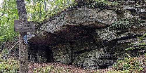
76 Lake DriveThe Indian Rock Shelters trail offers an unusual opportunity to visit the natural rock shelter home sites of early Native Americans. As you walk you can see excellent views of a rock ledge parallel on the other side of a low area. The forest HAS beech, maples, oaks, birches, white ash and hickory. The trail is a loop. Distance is one mile. Walking time is about an hour. Dogs are allowed, but must be leashed. - Trail Map (PDF)
Branford, CT
Lake Saltonstall Recreation Area
entrances off Hosley Avenue 203-401-2654Lake Saltonstall has nine miles of trails for hiking, biking, and wildlife watching, and it also is a great freshwater fishing locations. The lake is stocked. A wheelchair-accessible floating pier is located on site. A fish shack is located just off Hosley Avenue. Boats are available for rent. The shack is staffed during fishing season.
Permitted Uses: This site requires a Regional Water Authority permit. No motored vehicles allowed. Fishing is allowed by state permit. Swimming are dogs are prohibited.
Directions: Lake Saltonstall can be reached via I-95 Exit 52 to Route 1. There are two gated entrances off Hosley Avenue.
Branford, CT
Lake Saltonstall Walking Trails
entrances off Hosley Avenue 203-401-2654Lake Saltonstall is home is many species of birds and forest animals. Here you can hike, jog, or bicycle along nine miles of trails, and learn about local wildlife on a one and one-half -mile interpretive nature trail. There is good freshwater fishing in the lake, which is stocked. A wheelchair accessible floating pier is located on site.
There are several named and marked walking trails, of various degrees of ease or difficulty. The Lake Saltonstall Trail is a loop trail and it is perfect for jogging, hiking, bicycling, or cross-country skiing. The inland trail weaves through spruce and pine groves and has spring wildflowers. The Ridge Trail is a dead-end trail that runs along the top of the Saltonstall Ridge, offering scenic views. The Vista Trail provides an overlook to the west.
Glastonbury, CT
Earle Park
1325 Main StreetThis 50-acre park, owned and managed by the town of Glastonbury, is mainly wooded and undeveloped. There are many walking trails along Holland Brook. Trails also are used for horseback riding. A Connecticut Audubon Center facility is right at the park’s entrance. - Trail Guide

New Haven, CT
Edgewood Park
Edgewood Avenue 203-946-8028Edgewood Park is an important and well-loved outdoor resource for the people and visitors of New Haven. The park offers places to walk and jog, watch birds, do some cross-country skiing, play tennis, skateboard at Coogan Pavilion, or just relax by a lovely pond. The park has the Coogan Pavilion & Gazebo, a playground, several ponds and the city's West River, many walking trails and a sensory trail, a skate park, a dog run, and wetlands viewing station, and more.
Hours: Open year-round, daily, sunrise to sunset.
Bethlehem, CT
Bellamy Preserve and Other Properties of the Bethlehem Land Trust
Route 61 and Bellamy LaneBethlehem Land Trust holds and preserves 360 acres over 17 parcels in Bethlehem, the largest of them being the 81-acre Bellamy Preserve. At least four of the properties have walking paths and online trail maps, for use by the public. They are:
Bellamy Preserve: Access and parking are located on Munger Lane in the center of Bethlehem.
Two Rivers Preserve has a scenic path along Weekeepeemee River from the parking area. It is located on Route 132, about a mile and a half west of Bethlehem.
Long Horizon: has a trail that meanders along a ravine, around the field and through a young arboretum. Visitors can reach the trail through Swendsen Farm Preserve or from Long Horizon Road.
B. Earl Canfield Jr. Preserve is on the southeast side of Still Hill Road; there is parking at the bottom of the valley.
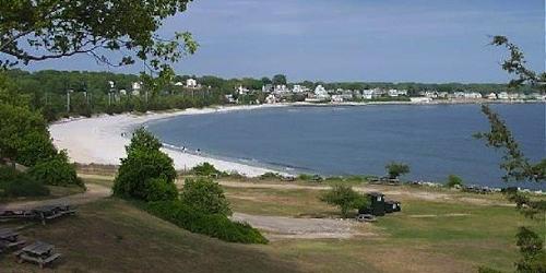
East Lyme, CT
Rocky Neck State Park
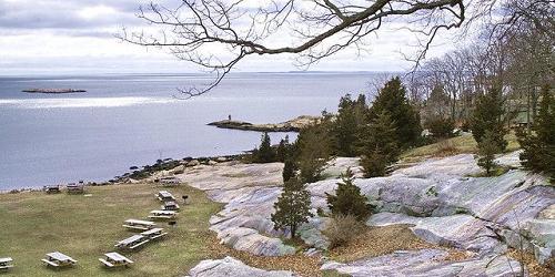
244 West Main Street (Route 156) 860-739-5471Bordered on the west by a tidal river and to the east by a broad salt marsh, Rocky Neck is popular for swimming, sunning, camping, picnicking and hiking. People who love to walk and hike will find many trails in the Rocky Neck network, and you may wish to combine a couple for your out-and-back. Nearer the shoreline, look for Look for ospreys, cranes, and herons or other waterfowl. - Hiking Map (PDF)