Walking and Hiking
Public places offer lots of walking and hiking in Litchfield and northwest CT
25 listings
Colebrook, CT
Norbrook Family Brewery & Farm Trails
204 Stillman Hill RoadEnjoy a beer, then a farm trail walk, then a beer, and repeat. Norbrook Farm Brewery welcomes guests to ease up to the copper bar and enjoy farmhouse-style beers, ales and lagers. Also available: food trucks, small nooks or family-style tables for indoor seating, a patio in the warm seasons, and a sunroom overlooking the farm field and distant windmills. The brewery is found on this “Walking and Hiking” page, because the farm’s 450 acres have miles of trails, for walking, snowshoeing, cross-country skiing, mountain biking, and disc golfing. The tasting room does not have to be open for you to use the property, though the trails are closed, for safety, at sunset. Norbrook Farm Trail Farm trail map.
Hours: Wednesday-Sunday, noon-8 p.m.
Wolcott, CT
Peterson Park
123 Mad River Road 203-879-8100This park is home to the beginning of the Mattuck Trail, a 35-mile hike that wends its way up to Mohawk Mountain, in the Litchfield Hills. Peterson Park offers basketball, tennis, volleyball, roller blading, skate park, play areas, and paved walking trails. There is a large picnic grove with many tables and two pavilions.
Washington Depot, CT
Mount Tom State Park
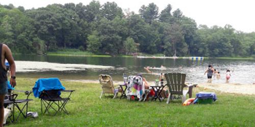
Route 202 at Mount Tom Road 860-567-8870In addition to water sports, this park is popular for hikes to the lookout tower on Mount Tom, which looms above the lake. The summit is 1325 feet above sea level, and the trail to the tower is less than one mile long and rises 500 feet. - Park Map (PDF)
Sharon, CT
Sharon Audubon Center
325 Cornwall Bridge Road / Route 4 860-364-0520Nature trails meander through gardens, woods and around ponds. Watch for a wide variety of plants, birds, bobcats, beavers, river otters, and deer. Many migratory birds use the property as a lay-over point. The Visitor Center houses the Nature Store, Natural History Museum, and Exhibit Room with live animals and displays and a Children's Adventure Center. Gift shop and book store.
Hours: The Visitors Center and Nature Store are open year round, Tuesday-Saturday, 9 a.m.-5 p.m.; Sunday, 1 to 5 p.m. The building is closed on all major holidays.
Admission: Trails and most programs are $3 for adults; $1.50 for seniors; $1.50 for children
Bethlehem, CT
Bellamy Preserve and Other Properties of the Bethlehem Land Trust
Route 61 and Bellamy LaneBethlehem Land Trust holds and preserves 360 acres over 17 parcels in Bethlehem, the largest of them being the 81-acre Bellamy Preserve. At least four of the properties have walking paths and online trail maps, for use by the public. They are:
Bellamy Preserve: Access and parking are located on Munger Lane in the center of Bethlehem.
Two Rivers Preserve has a scenic path along Weekeepeemee River from the parking area. It is located on Route 132, about a mile and a half west of Bethlehem.
Long Horizon: has a trail that meanders along a ravine, around the field and through a young arboretum. Visitors can reach the trail through Swendsen Farm Preserve or from Long Horizon Road.
B. Earl Canfield Jr. Preserve is on the southeast side of Still Hill Road; there is parking at the bottom of the valley.
Ridgefield, CT
Woodcock Nature Center
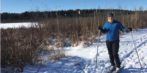
56 Deer Run Road 203-762-7280Set on 146 acres, the nature center has numerous walking and hiking trails. The area offers great opportunities for birdwatching and observation of geology. Regular walks and programs are scheduled throughout the year. Gift shop on the premises.
Located on 149 acres of state-protected land, the Woodcock Nature Preserve includes a pond, wetlands and three miles of trails through woods. The center keeps many living local and exotic creatures including snakes, frogs and lizards. A few injured birds of prey live at the center. - Trail Map
Hours: Monday-Friday and most Saturdays from 9:30 a.m.-4 p.m.; summers, Monday-Friday only. The trails are open daily from dawn to dusk.
Admission: Free.

Litchfield, CT
White Memorial Conservation Center and Museum
80 Whitehall Road 860-567-0857This wildlife sanctuary and museum is on 4,000 acres of many habitats and 35 miles of trails. The Little Pond trail is a one-mile wooden boardwalk through wetland areas and around a pond. History buffs will enjoy the ruins of an old ice house off Bantam Lake. Bring your smart phone to access via QR code the oral and pictorial history of the ruins. Programs for adults and kids are varied, and include guided walks. There is a gift shop.
Roxbury, CT
Mine Hill Preserve
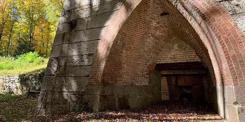
Mine Hill RoadListed on the National Register of Historic Places, the preserve is set on a former iron ore mine and blast furnace. Granite quarries on the property provided stones used in the building of the Brooklyn Bridge and Grand Central Station in New York City. A looping trail of under 4 miles will take hikers along the Donkey Trail (where donkeys used to pull ore wagons), past mine shafts and tunnels, and old mine and furnace foundations. Side trails will take hikers to the granite quarries.
Redding, CT
Saugatuck Reservoir Trails
Route 53 203-452-3511Saugatuck Reservoir is part of a big land preserve in southwestern Connecticut. It is surrounded by 65 miles of hiking trails wending through Redding, Easton, and Weston through woodlands and fields, along shorelines, up rocky mountain sides with great views, and along interesting wetlands. These trails are part of the blue-blazed trail system managed by the Connecticut Forest and Park Association. To hike here, you must contact Aquarion Water Company and ask for a free map of the trail system, which serves as your hiking permit.
Salisbury, CT
Bear Mountain
Route 41 three miles north of SalisburyBear Mountain in Salisbury has the tallest point in Connecticut at 2,316 feet. There are several trails to the top, and all are categorized as strenuous. One trail to Bear Mountain is the Undermountain Trail, which you can get onto about three miles north of Salisbury off of Route 41. (A a dirt parking lot on the left hand side may be obscured by bushes in summer.) Undermountain Trail rises straight up for two miles and then meets the Appalachian Trial. When you reach the large wooden trail sign as Undermountain and Appalachian Trails meet, turn right onto the Appalachian Trail. Walks another mile to the top of Bear Mountain; there is a short, steep rise the last few 100 yards. Length: 5-6 miles round trip.
Norfolk, CT
Campbell Falls State Park
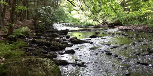
Route 272 to Campbell Falls RoadCampbell Falls State Park is a natural area with no facilities. Visitors enjoy the easy hike to a beautiful, small waterfall on Ginger Creek. Sweet spot for picnicking. - Hiking Trails
Watertown, CT
Black Rock State Park
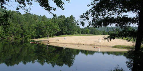
2065 Thomaston Road 860-283-8088Black Rock offers excellent swimming, hiking, scenic views, and Indian legend all tucked into the scenic rolling hills of the western highlands of Connecticut. - Hiking Map (PDF)
parts of Harwinton, Litchfield, Plymouth, Thomaston, Waterbury, Watertown, CT
Mattatuck State Forest
860-567-5694Mattatuck’s many parcels cross several town borders and offer many outdoor and forest experiences for hiking, mountain biking, letterboxing, and hunting. Various trails lead hikers past interesting topography to excellent overlooks. Hunters, in season, make use of the forest for its wide variety of wildlife.
Whiterock Trailhead: From the intersections of Route 262 and Route 6 in Plymouth, drive south on Route 262 for three and a half miles and park in the unmarked pull-off on the right. The trail descends to the south at first; joins the blue blazed main trail; turns west; follow to the summit.
Greystone Trailhead:From Routes 262 and 6 in Plymouth drive south on Route 262 for five miles to the trail head. There is no parking at the trailhead; park at the bottom of the hill and walk back up to the trail head. Enter the woods at the barred gate; cross the bridge; hike to the summit. - Trail Map
Barkhamsted, CT
American Legion & Peoples State Forests
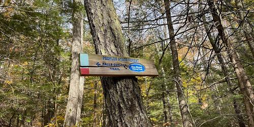
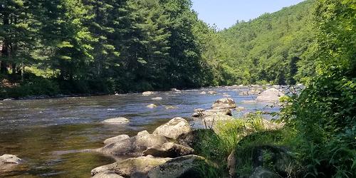
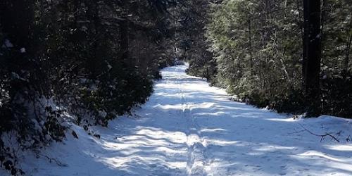
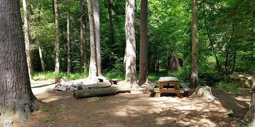
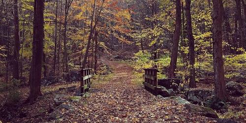
Between Center Hill Road (CT Route 181) and East River Road 860-379-2469These two adjacent state forests have extensive hiking trails, from easy to difficult. they include: Henry Buck Trail (blue blazed; 0.3 mile; overlook from high cliffs); Turkey Vultures Ledges Trail (blue; easy hike to scenic views; 0.4 mile); Agnes Bowen Trail (orange; a ski trail from the 1930; 2.5 miles); Charles Pack Trail (yellow; 1.9 miles); Elliot Bronson Trail (red; a rugged climb over Ragged Mountain; 1.5 miles); Jessie Gerard Trail (yellow; passes an old Indian settlement, a lighthouse, 299 stone steps; some of the best views in the state; Robert Ross Trail (blue; 2 miles); Walt Landgraf (red; leads to an area of rock ledges known as the Indian Caves; 0.2 miles). - Trail Map (PDF)
New Fairfield, CT
Squantz Pond State Park
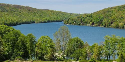
178 Short Woods Road 203-312-5023There are plenty of nice, wooded, and well-mapped hiking paths in the woods and hills about the lake at this park for walkers and hiker of all abilities. - Hiking Map (PDF)
Seymour, CT
Little-Laurel Lime Ridge Park
Tomlinson & Laurel Ridge roadsThis 209-acre park is managed by the town of Seymour, The land has wild woods with extensive hiking trails. Wonderful views of Housatonic River and valley can be seen from park trails. The park also is noted for its limestone caves.
Kent, CT
Bull's Covered Bridge River Walk
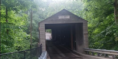
Bull's Bridge RoadA scenic part of the Appalachian Trail. Hikers can enjoy the Bull's Bridge Scenic Trail loop, featuring views of waterfalls and gorges down below on the Housatonic River. The covered bridge was built in 1842. The trail follows the Housatonic River to Ten Mile River Gorge, and then up to the top of Ten Mile Hill.
Directions: At the intersection of routes 341 and 7 in Kent, follow Route 7 south for three miles; turn right onto Bull's Bridge Road; cross the first bridge; go through the covered bridge; cross a third bridge, and park on the left White blazes mark the entrance to the Appalachian Trail. The entrance to Bull's Bridge Scenic Loop is between the covered bridge and the first parking area and is not blazed. Moderate difficulty.
Middlebury, CT
Hetzel Refuge
Breakneck Hill 203-263-3711This pristine, wooded refuge sits on 66 acres and offers prime observation areas for both birds and animals. Hiking trails wend their way through almost the entire site.
Kent, CT
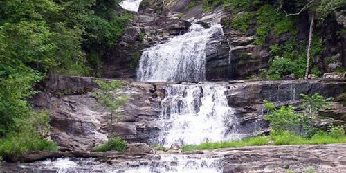
Kent Falls State Park
462 Kent Cornwall Road (Route 7) 860-927-3238This beautiful park focuses on waterfalls descending to the Housatonic River. There are many mapped trails all around the drainage area of the streams joining the waterfalls. - Hiking Map (PDF)
Southbury, CT
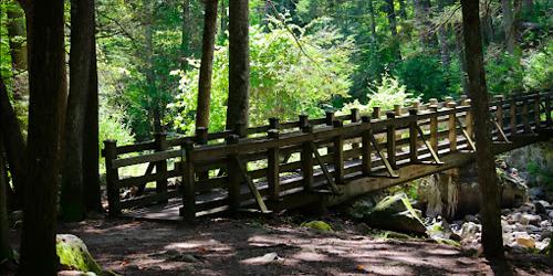
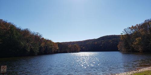
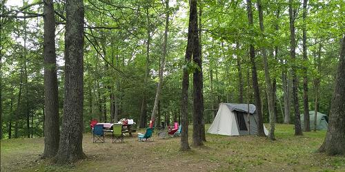
Kettletown State Park
1400 George's Hill Road (Off I-84 at Exit 15) 860-424-3200Visitors can enjoy nature programs, fishing, hiking trails (including one for the handicapped), swimming and picnic areas. Plenty of lovely walks and hikes, and the state offers a handy map to guide you. - Trail Map (PDF)
Norfolk, CT
Haystack Mountain
State Route 272At the summit of this 1,716 foot peak is a 34 foot high tower. A half-mile trail leads visitors from the parking lot to the tower, from which Long Island Sound, the Berkshires and New York State can be seen.
Plymouth, CT
Walking Tour of Plymouth Center
Begins the Town Green, 10 Park Street 860-585-4001This walking tour of this lovely Litchfield town begins at the Town Green and proceeds to the town's Burying Ground, where the oldest gravestone dates to 1749. Soldiers from the French and Indian War, the Revolutionary War, and the War of 1812 are buried here. The Soldiers Monument commemorates Abraham Lincoln and 38 men from Plymouth who died in The Civil War. Other New England edifices include the Congregational Church, several historic homes, the Gothic Revival Baptist Church, a post office, and The Quiet, a historic inn. The walk is about a half mile long.
Torrington, CT
Burr Pond State Park
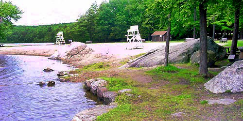
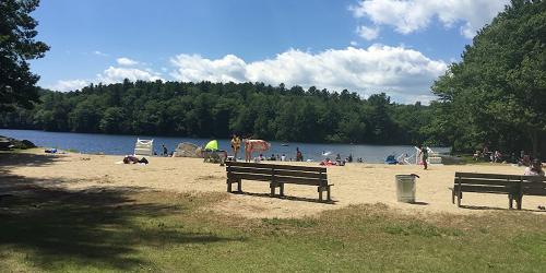
384 Burr Mountain Road 860-482-1817As easy walking trail hugs the shoreline of this pretty pond, with a sandy beach and boating. - Trail Map (PDF)
Woodbury, CT
Flanders Nature Center
Flanders Road 203-263-3711Flanders Nature Center has access to many walking and hiking trails on the Van Vleck Farm and Nature Sanctuary and the Whittemore Sanctuary. Trails are used for birding watching, nature photography, and in the winter cross country skiing and snowshoeing. Some trail names are “Wildlife Vegetation Trail,” “Farm Trail,” “Wilderness Trail,” “Botany Trail,” and “Old Orchard Trail.” Trails at the Whittemore Sanctuary offer views of natural vistas. Trails open from sunrise to sunset. Trail maps are available at the Welcome Center at the Van Vleck Farm Sanctuary at the corner of Church Hill and Flanders Roads in Woodbury. - Trail Maps
Hours: Monday-Saturday, 9 a.m.-5 p.m.
Bristol, CT
H.C. Barnes Nature Center
175 Shrub Road 860-589-6082This nature center features a variety of self-guiding trails, as well as interpretive exhibits and a nature library. The 70 acre sanctuary is home to a variety of species.
Hours: Wednesday-Friday, 2-5 p.m.; Saturday, 9 a.m.-5 p.m.; Sunday, 1-5 p.m.