Walking and Hiking
Public places offer lots of walking and hiking in Hartford and central CT
16 listings

East Granby, CT
Metacomet Trail
Route 20 860-346-2372The 62-mile Metacomet Trail follows a ridge from the Hanging Hills of Meriden to the Massachusetts border. A walk on this trail rewards hikers with beautiful views, wildlife sightings, and pass-by views of landmarks like Castle Craig in Hubbard Park, Hill-Stead Museum in Farmington, and the Heublein Tower in Talcott Mountain State Park in Simsbury. The Metacomet Trails intersects other trail systems, offering many opportunities for loop hikes.
The Metacomet Trail is part of the 215 mile New England National Scenic Trail (NET). The NET travels and connects various trails from the Long Island Sound to the Massachusetts / New Hampshire border.
East Haddam, CT
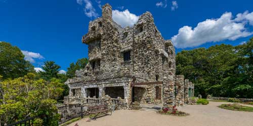
Gillette Castle State Park and Mansion
67 River Road 860-526-2336Short, steep, and sweet hikes abound on this property, the former home of a famous stage actor of the early 20th century. Many picnic spots overlook the beautiful Connecticut River far below the top the hill, where a fanciful castle was the home of William Gillette. - Hiking Map (PDF)
Chester, CT
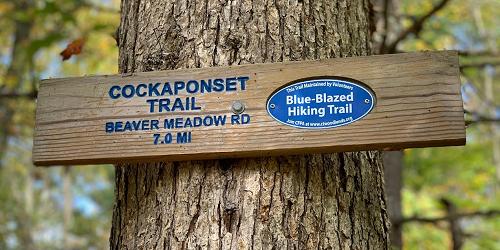
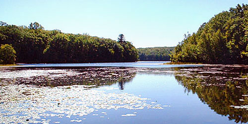
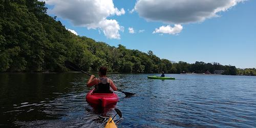
Cockaponset State Forest and Pattaconk Lake Recreation Area
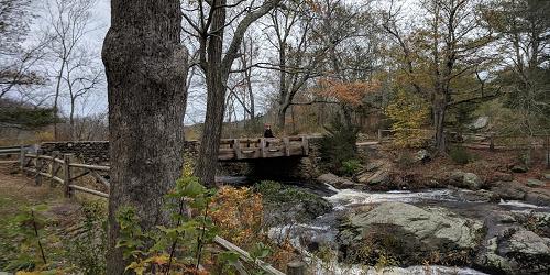
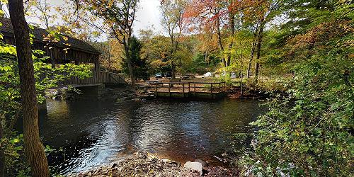
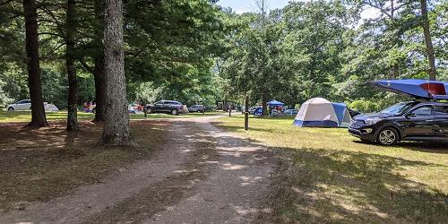
Cedar Lake Road 860-424-3200Follow color-coded marked trails past Stevenson Pond, Tower Hill Lake, Deep River, Horse Pond, and serene brooks and streams. - List of Park Maps
East Haddam, CT
Devil's Hopyard State Park
366 Hopyard Road 860-873-8566The red and white nature trail is about a quarter-mile long and offers wildlife viewing opportunities. Including this one, there are some shorter trails surrounding a small pond in the park’s southern region. Explore scenic views along the Yellow Witch Hazel and Orange Vista Trails. - Park Map (PDF)
Meriden, CT
Hubbard Park Hiking Trails
999 W. Main Street 203-630-4259Hubbard Park has 1,800 acres of parkland that includes woodland, lake and stream, flower gardens, and picnic areas, and Mirror Lake. Many trails are available. The Blue Trail (Metacomet Trail) is 7.27 miles in length, easy to difficult. Red Trail is 1 mile. Yellow Trail is one-third of a mile White Trail is 2 miles. Orange Trail is one-half mile. All trails are rated easy to difficult. Trails Map (PDF)
East Hartland, Burlington, East Plymouth, Southington, CT
Tunxis Trail
The Tunxis Trail, in north-central Connecticut, is part of the blue-blaze trail system, composed of 22 trails in four sections. The Northern Trail is 22 miles long, from the Massachusetts border through Tunxis State Forest. Nepaug region trail is 7.2 miles long, through New Hartford, over Garret Mountain and through Nepaug and Burlington. The Burlington region trail is a network west of Burlington. The Southington region 14 miles of trails crossing Southington, Compounce, and South Mountains. These trails are maintained by volunteers and are among the most popular Connecticut trails for walkers of all abilities.
Best resource for trail maps and trail access is the Connecticut Walk Book (West). You can purchase the book from Connecticut Forest and Park Association's online bookstore, some local bookstores or some local libraries.
Glastonbury, CT
Earle Park
1325 Main StreetThis 50-acre park, owned and managed by the town of Glastonbury, is mainly wooded and undeveloped. There are many walking trails along Holland Brook. Trails also are used for horseback riding. A Connecticut Audubon Center facility is right at the park’s entrance. - Trail Guide
Hebron, CT
Gay City State Park
Route 85 860-295-9523This rustic, rural park is the perfect place for fishing, along with biking, hiking, walking, and cross-country skiing on numerous trails. - Hiking Map
Hours: The park is open from 8 a.m. to sunset. Season is the Saturday in April through Columbus Day weekend. Winter parking is available.
Canton, CT
Roaring Brook Nature Center
70 Gracey Road 860-693-0263This nature center features walking trails, live animals and an Indian longhouse. The Nature Center uses the 100-acre Werner farm property and woods, and maintains its hiking trails, bluebird boxes, and wildlife habitats. The trails are used hiking, cross-country skiing, and passive enjoyment of the outdoors. A self-guiding trail guide, and trail maps may be purchased at the nature store.
Hours: Walking trails are open dawn until dusk.
Granby, East Granby, Suffield, Unionville, Collinsville, Burlington, Canton, and Simsbury, CT
Farmington Canal Heritage Trail and Farmington River Trail
860-202-3928The Farmington Canal Heritage Trail stretches from New Haven to the Massachusetts border before continuing into Massachusetts for a total length of 80.5 miles, passing through and 13 towns. The trail, for walkers and bicyclists, runs along abandoned rail corridors and canal tow paths. The Farming River Trail is an 18.2-mile loop trail that connects to the Heritage Trail at location in Farmington and Simsbury. It touches on the towns of Unionville, Collinsville, Burlington, and Canton. Much of the trail hugs the banks of the Farmington River.
Online trail maps provided by the Farmington Valley Trails Council show the full trail and its various segments, with helpful information on parking and other needs.
Cheshire, CT
Lock 12 Historical Park
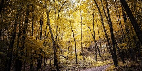
487 North Brooksvale Road (Route 42) 203-272-2743Walk along this historical park’s 2.9-mile hiking and biking trail, then enjoy a picnic in the great outdoors. Grounds are open year-round. Be sure to explore the restored Canal.
Simsbury, CT
Talcott Mountain State Park
CT Route 185 (Hartford Road) at Summit Ridge Drive 860-242-1158Heulbein Tower is popular for hiking, picnicking
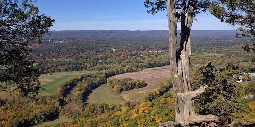
The Tower Trail is one-and-a-quarter miles long, and will lead you on a 30-40 minute walk to Heublein Tower and breathtaking views of the landscape, including Mount Monadnock in New Hampshire and the mountains of the Berkshires in Massachusetts. A section of the Metacomet Trail also intersects the park. - Park Map (PDF)
West Granby, CT
Enders State Forest
Route 219 860-379-2469Open: Year round.
This wildlife sanctuary features a walking trail that leads to beautiful, scenic waterfalls.
Bloomfield, CT
Penwood State Park
Route 185, Simsbury Road 860-566-2304Most of this 800-acre park’s hiking trails begin and end at the main picnic site. Trails are color-coded loops, with the exception of the Nature Trail, which encircles Lake Louise and passes by the scenic pinnacle overlook. Year-round chances to see wildlife such as birds and wildflowers.
Burlington, CT
Sessions Woods Wildlife Management Area
Route 69 860-675-8130Visitors to this natural preserve are treated to a beaver marsh, an observation tower, and a waterfall. Walking and hiking trails feature information signs and demonstrations of wildlife management practices.
Hours: Year-round, dawn to dusk.
Manchester, CT
Oak Grove Nature Center
Oak Grove Street 860-643-0949This 52-acre nature preserve and nature center is operated by the nearby Lutz Children's Museum. The property has a pond, a covered bridge, and two easy walking trails totaling about 3 miles of walking distance on dirt paths.
Hours: Trails are open dawn to dusk. Center open for museum activities and by arrangement.